
We stopped at park headquarters to see if we could get help locating the start of this trial that runs from Rte. 233 to the summit of Sargent Mtn. The woman in the office did not know the location but gave us contact information for one of the "trail guys" she thought would know. In the meantime we did an hour search from the road and the carriage road but were unable to find it.
We then walked to the Breakneck Road to see if we could find the McFarland Hill and Young Mtn. Trail that starts at the Breakneck Ponds. We hiked the road in winter but this was our first fair weather hike. The road is owned by the city of Bar Harbor but the land on both sides is park property. The road is not maintained and in some spots is very rutted ( this is the most extreme example) .

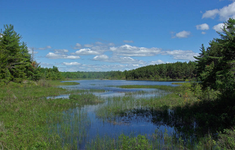
Beavers are busy in this area and one of their dams created this pool on the trail

Kelley was very happy when we reached the ponds and had a nice swim.


After Kelley's swim we looked for the trail and found a likely candidate in about the right place but after a promising start we kept losing it and eventually got tired of bushwhacking and walked back to the ponds so Kelley could have another swim. We then continued on the road for a bit and as you can see it is in good condition beside the ponds.

We had lunch and returned to our car somewhat frustrated but happy for a nice hike on a beautiful day. 2-3/4 hours

You would think that park headquarters would have a better handle on the trails in their park. Beautiful scenery though.
ReplyDeleteWell, these are abandoned trails that they no longer maintain. I have emailed the "trail guy" so maybe I will still get help.
ReplyDeleteI take it that when you were on McFarland Mt. you didn't see an obvious route north to Youngs Mt. You might try that way and work your way down from Youngs to the Breakneck Ponds. Easier working your way downhill than up.
ReplyDeleteI agree. I did look for other trails when on was on McFarland but perhaps a more thorough search...
ReplyDelete