The Rest of Our Hiking Pictures Can Be Found Here

Finding Trail Descriptions

So as not to repeat myself excessively, I am reducing the amount of description of trails that have already been posted. Please use the search function ( upper left) to find older posts which have more detailed trail descriptions and pictures. You can also use this to find specific hikes either by trail or mountain.


Click Pictures for a Larger View


Saturday, May 31, 2014

5/31/14 Little Long Pond


A beautiful day- around 60, sunny, a little breeze, and no bugs. We drove over with a friend but she is training for the Trek Across Maine and rode her bike on the carriage roads while we hiked. We took the Friends Path down to the pond, West Side to Jordan Stream to the Cobblestone Bridge, and then the carriage roads back down the other side.

Obligatory shot of the pond


Running to catch up- she had been exploring the woods.


then back into the water


Wildflowers


Bottom end of the pond and some lily pads- no flowers yet


One last dip in the pond


I didn't take a lot of pictures because we were busy enjoying this beautiful day. We only met one man with a dog which was unusual for a beautiful Saturday.  2  1/4 hours

5/30/14 Lead Mountain

I could not find a map for this trail and had found two sets of directions- one obviously older than the other. We had tried this hike several years ago without reaching the summit and ended up wandering around in the woods. We had a beautiful sunny day with moderate temperatures.

The trail starts out on a service road


and then turns onto an ATV trail that was not in good shape- deeply rutted with lots of large rocks. The climb was pretty much straight up and fairly steep. I did get a couple of pics on the way up with my macro- not the sharpest.


We did reach the top and found the old fire tower in the woods- here is one of the bases


The only views from the top are from a small tower ( 7 or 8 ft.) you can climb and hang onto the side of  to get a view over the tops of the trees. All of those pictures were way out of focus because of wrong camera settings. We headed back down.

Not the best hike we have done but we did get a good work out., found the summit, and there was water for Kelley. 2  1/4 hours

Friday, May 30, 2014

5/29/14 Walker Ridge and Georges Highland Path Area


Yesterday was cold with rainy periods and we just walked around the neighborhood, though Kelley got to play with two of her friends. Today is sunny and warmer. Decided to try to sort out a confusing area. This winter we had done the GHP and the snowmobile trail ( which starts right next to the GHP) and both seemed to have been rerouted with us ending at a spot different than we had found in the past.

We started on the snowmobile trail near Walker Ridge Rd which started out wet


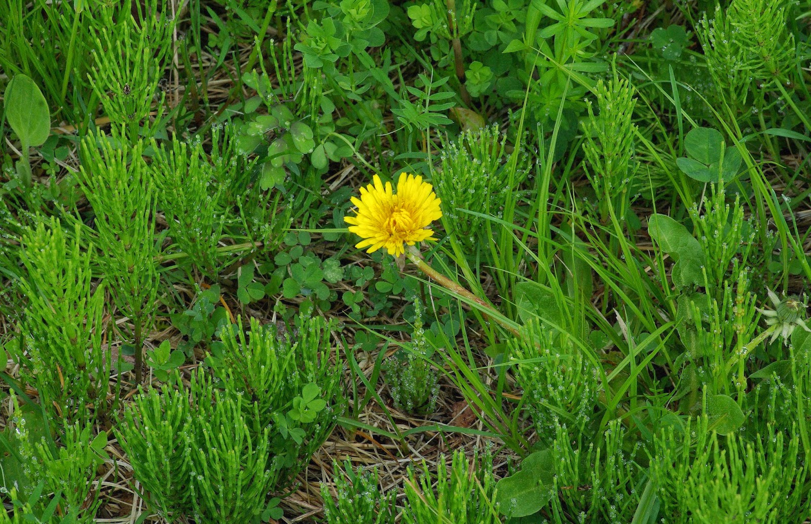
but  became quite marshy and I thought I could walk around it but soon found myself in water over the tops of my boots. I had to stop and pour the water out of my boots. The next section is a large meadow with markers and snowmobile tracks in winter- today just the meadow.


At the top of the hill you turn past an old farm that appears abandoned .

An old piece of machinery


and back in March


We started down the logging road but instead of turning onto the snowmobile trail we continued on the logging road and found these blossoms. Berries, I think.


As we neared the point that was confusing I spotted a skull I had photographed before and thought we were on the right track


At our destination there had been a lot of timber harvesting and it was more confusing than the last time we had tried this.


After failing to sort it out we did find the GHP but it was not consistent with the map either- We had not crossed it on the road in. We took it back anyway and it was a nice woods walk.


Crossing the road the GHP and snowmobile trails coincide and we were going to follow the GHP to Walker Ridge Rd. - we hadn't walked that section- but missed the turn and ended up following the snowmobile trail. We then walked up the road to the GHP and followed it back. I got my first insect of the year.


Not the hike we envisioned and it didn't help sort out the trails but it had been a beautiful day and we enjoyed it anyway.  2  1/4 hours

Wednesday, May 28, 2014

5/27/14 City Forest

Gray, cold ( 50's) morning with rain forecast. Went to the forest in hopes of getting in a hike before the rain. We were on and off the West Trail and the rail bed, exploring some of the side trails. Kelley was happy, with  water everywhere and we met several people and three dogs. The rain held off and we got in a nice two hour hike.


First Lady's Slipper of the year- there were only a few in one little clump and none of the pink ones yet.


Monday, May 26, 2014

5/25/14 Northern Pond


Mix of sun and clouds, upper 50's, possibility of rain. Northern Pond is only 24 miles from home.

Last time we were here part of the trail was closed and it remains so. We still stopped at the regular parking area to walk down to the canoe launch. We didn't get far as the bog bridge sections were floating.


But the stream runs just to the right and we walked through some brush for Kelley to have a swim.


We then drove the short distance to the bypass trail and began from there. Our route is indicated on the map above.

The pond


and a bunchberry in bloom


We took the spur trail to the beaver dam


and from the dam


We completed the loop and when we got to the closed section we checked it out. It was fine at first but we soon encountered more floating bog bridges and turned back.

A very pleasant hike-comfortable temps, lots of water for Kelley, and dramatic clouds.  2  hours


Sunday, May 25, 2014

5/24/14 Paul Bunyan Snowmobile Trail


Mostly cloudy, a little drizzle, and possible showers. Decided to try another snowmobile trail- this one less than 2 miles from home. For the first part it runs along the Kenduskeag Stream.


This part of the trail was in good shape with a few muddy spots and puddles that were easy to get around. The drizzle stopped and we started to get some sun.


A couple of reminders


but there were flowering trees and bushes


Kelley found puddles and small streams but she wanted to get into the Kenduskeag  but the mostly steep banks stopped her. We finally found a spot where she could get down.


An interesting fungus and more blossoms


Another view of the stream


This one is already finished


One more blossom pic


When we reached the part of the trail across Pushaw Rd. there was a plastic fence but no sign. We went around it and saw a man in a nearby yard- we assumed it was his property ( lots of the trails cross private property) and asked if it was OK to walk the trail and he said, yes. He didn't want ATVs on it while it was wet. This part was wetter and also more open so the trail was harder to discern and will soon be fully overgrown . When we got to Ohio St. there was a wire fence- they really didn't want anyone on the trail so we turned and headed back.

On the way back Kelley found another way down to the stream- I did not follow her down.


Turned out to be a pleasant hike with pretty woods and the stream. 2  1/4  hours