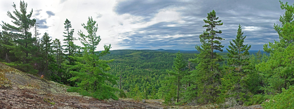
Part way up there is a side trail to an overlook with nice views
Click twice for large view

We then continued on up the trail which is a steady climb but has good footing and no problems for Kelley. The summit is not marked but the apparently highest point is not open and has no views. You drop down a short distance to a ledge for the views which are not as open as the overlook.
This was with a longer lens to get a clear view of the more distant hills
We decided we would take the trail in to Ducktail Pond and on the way to that trail head we saw a sign at an intersection pointing to a side road that said "Dead End 1/2 Mile - Scenic View". We drove a short distance and parked and tried to hike to the area of the view but giant boulders blocked the trail and there was no way around for Kelley. I got a wildflower picture and we headed back to Ducktail
The trail into Ducktail was narrower and took you over a rise but was not very long and again no problems for Kelley.
Click twice for large view

This old canoe had many patches including duct tape. There were also some people camping and they had canoes they had carried in.
Pretty good two hour hike . We have more to explore because we did not see any of the harvested areas on any of the trails we were on. These were mentioned by our friend who told us about the trails and in some of the online literature.


No comments:
Post a Comment
If you do not have a Google account the easiest way to post a comment is to use anonymous and then, if you wish, put your name in the body of your