
Colder ( about 30) with 20-30 mph winds. We wanted a somewhat sheltered hike and decided on the Boyd Path- this was an old road at one time but is no longer on the maps. It starts from the end of the park service road that leads to their firing range. Most of the trail is narrow but there are still parts wide enough to show it was once a road. The first part of the trail was ( surprisingly) quite icy but it improved as we traveled north ( more open?) . The description in "Pathmakers" says it goes from Rte. 3 to Bubble Pond but we have never found the last little piece before the pond. Looking again at their map it appears that the carriage road has covered that part and the trail we follow does curve up to the carriage road which we took to Bubble Pond
The Pathmaker's map- Boyd is # 449


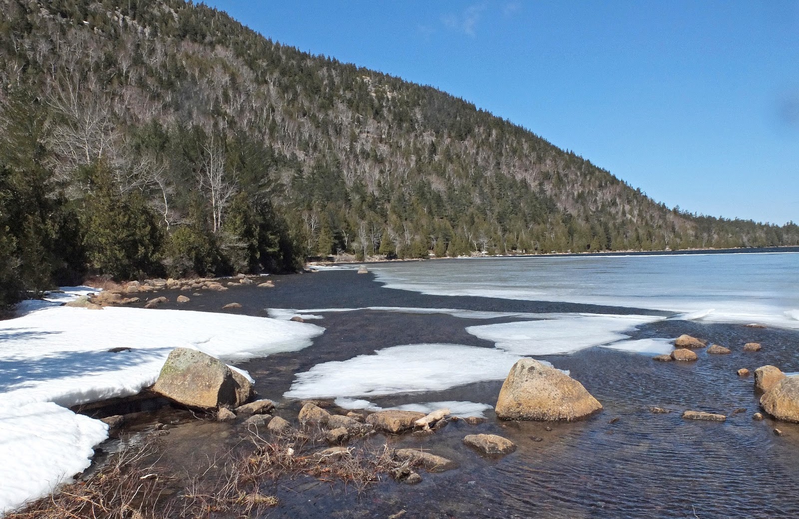
It was thawed enough around the edges for Kelley to get some water time.

We took the carriage road south to the Hunters Brook Trail., one of Kelley's favorites. She was soon running excitedly ahead of me. The first part of this trail was also quite icy plus the trail goes back and forth across the stream on wet rocks- a bit of a challenge for me but no problem for Kelley. . But besides Kelley's preference it is also a pretty trail.


The second half of the trail was much better and we ended at the loop road and then up the hill to Rte. 3 and a block walk to our car. A pretty day and most of the way we were out of the wind and it was quite pleasant. 2 1/2 hours

Hi John-
ReplyDeleteGlad you & K enjoyed the hike. What is Pathmakers and where can it be bought?
Also, are there ones for different areas of the state?
Pardon my ignorance regarding this. Joel
Hi Joel- It's a history of the trails at Acadia put out by the park service. I first got it from the library and at one time you could download the whole thing for free
Deletehttp://bookstore.gpo.gov/products/sku/024-003-00195-3
Use the search thingy on my blog to find 'Pot Holes' , "brown Mountain". or just type in 'pathmakers for a couple of others.
I don't know of similar books for other areas.
Afternoon John this is Shawn looked wonderful yesterday im doin south ridge of Cadillac from Rt 3 tomorrow im still workin on my e-mail
ReplyDeleteHi Shawn- thanks for commenting- good one you have planned - have fun.
ReplyDelete