
A fine clear day with cool temperatures. The Dynamite Brook Road, which did not have a sign , now has one. There is also a sign indicating the trail head for the Caribou Connector Trail-no mention of Catherine Mtn. They have also cleared a small area for parking. When you reach the point where the trail splits there is no marker nor indication that straight ahead lies Catherine Mtn. The trail starts out fairly flat but then turns into a steady climb to the ridge.

Kelley found a little pool
 We hiked past the loop until the trail stated to drop on the east side and decided we didn't want to climb back up so turned back and then took the little spur to the Catherine Cliffs which gives a view in the other direction.

Back on the main trail we started off on what we thought was the other half of the loop , realized our mistake , retraced our steps, and continued on until we found the correct trail which took us back to the start of the loop on the west side

Don't know what this is about but it seems placed by people

Kelley checking it out

When we reached the junction with the Caribou Connector we decided to hike up in hopes of finding a spot with a nice view for our lunch and we did.

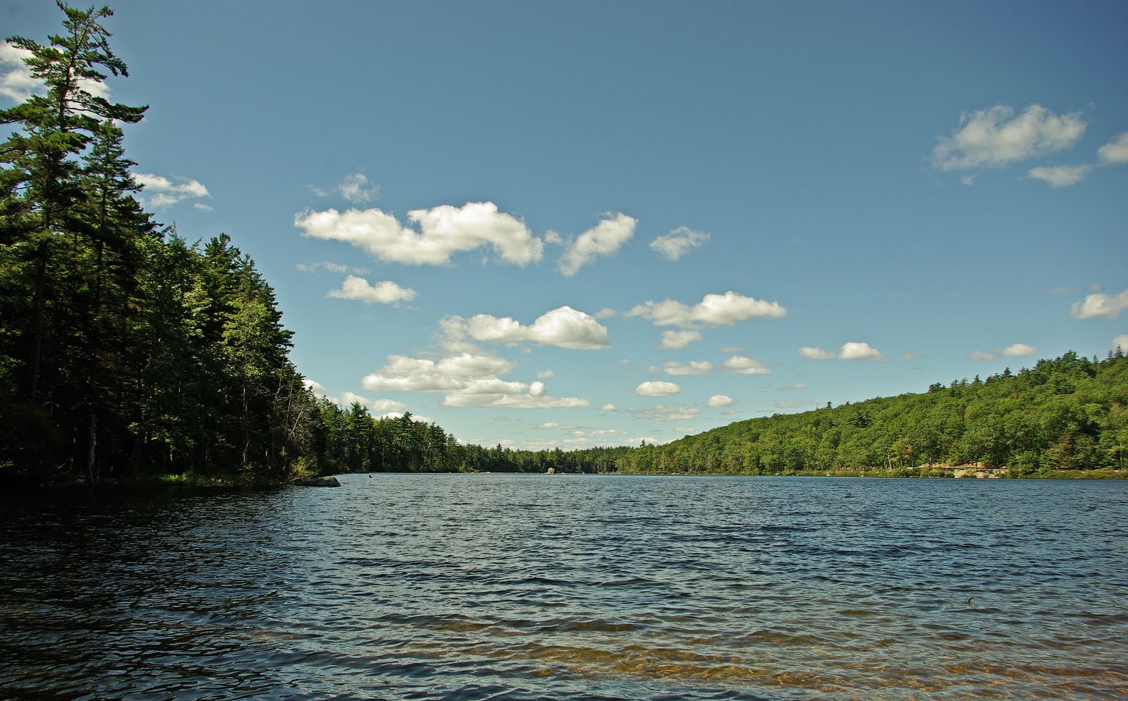
We stopped at nearby Fox pond for Kelley to have one more dip before the ride home.

A nice hike on a beautiful day 2 3/4 hours

A fine day with very nice views
ReplyDeleteYes it was-thanks for commenting.
ReplyDelete