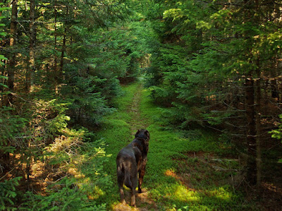
 For a fuller description of the Boyd Path see this previous post http://hikinginmainewithkelley.blogspot.com/2011/06/62111-boyd-pathroad-and-hunters-brook.html
The green line on the above map is Rte 3 from where we started. We followed the Boyd to just below Bubble Pond and then walked the carriage road to the pond and a chance for Kelley to get into the water. We then walked back on the carriage road to the Hunters Brook Trail ( more water for Kelley) and took that to the loop road and then the short walk to 3 and our car.
Near the start of the path part of the hike

Bubble Pond


If Kelley lived in New Mexico or Texas she would be out of luck finding waterholes I think.
ReplyDeleteThat just wouldn't work for her-
ReplyDelete