The Rest of Our Hiking Pictures Can Be Found Here

Finding Trail Descriptions

So as not to repeat myself excessively, I am reducing the amount of description of trails that have already been posted. Please use the search function ( upper left) to find older posts which have more detailed trail descriptions and pictures. You can also use this to find specific hikes either by trail or mountain.


Click Pictures for a Larger View


Sunday, May 30, 2010

5/30/10 Baker Hill and Long Ledges

A beautiful day for our first MOAC hike that was led by Scott who has been giving us suggestions on the blog. It was nice to finally meet him in person and we were joined by two other men, Jim and Bruce. We started at the Long Ledges parking area and first explored that section which is just past the Baker Hill area. I won't try to describe the course of the hike because I can't. There are many trails off the main trail, none of which are named, and we were on several of them.

Schoodic Mountain across Postage Stamp Pond

                                                              
Kelley was happy when we got to Long Pond

                                                                                 
Which we viewed from several spots as we continued the hike.

                                                                            
We then moved into the Baker Hill section and to the ledges on the hill which afforded some more nice views. We had missed the ledges when we were here before.

This is Acadia from the ledges

                                                                              
The hikers


We spent about 4 hours on this very pleasant hike through varied terrain with good companions.

Friday, May 28, 2010

5/28/10 In Search Of The McFarland Path


We stopped at park headquarters to see if we could get help locating the start of this trial that runs from Rte. 233 to the summit of Sargent Mtn. The woman in the office did not know the location but gave us contact information for one of the "trail guys" she thought would know. In the meantime we did an hour search from the road and the carriage road but were unable to find it.

We then walked to the Breakneck Road to see if we could find the McFarland Hill and Young Mtn. Trail that starts at the Breakneck Ponds. We hiked the road in winter but this was our first fair weather hike. The road is owned by the city of Bar Harbor but the land on both sides is park property. The road is not maintained and in some spots is very rutted ( this is the most extreme example) .

                                                                            
Beavers are busy in this area and one of their dams created this pool on the trail

                                                                                  
Kelley was very happy when we reached the ponds and had a nice swim.


After Kelley's swim we looked for the trail and found a likely candidate in about the right place but after a promising start we kept losing it and eventually got tired of bushwhacking and walked back to the ponds so Kelley could have another swim. We then continued on the road for a bit and as you can see it is in good condition beside the ponds.


We had lunch and returned to our car somewhat frustrated but happy for a nice hike on a beautiful day. 2-3/4 hours

Thursday, May 27, 2010

5/27/10 Northern Headwaters Trail

                                                                            
A beautiful day for an easy hike and a less long drive. These trails are part of the Sheepscot Wellspring Land Alliance.
We wanted to start from the Hemlock Hollow Trail because we had not hiked it before but could not find it so started from the Northern Headwaters trail head. This is a pretty woods walk with some small streams and a meadow and little elevation change.


When we came to the intersection with the Hemlock Hollow Trail we took that to see where it came out on the road and found that it started only 15 paces from where we had started up to the other trail head- much closer than it looks on the map. There was no sign but a blue paint blaze on a tree. We continued across the road to check out the trail for a future hike and that was also a nice trail though we only walked for twenty minutes before turning and returning to our car.


A pleasant easy hike. 2-1/2 hours

Wednesday, May 26, 2010

5/26/10 Norumbega Mtn. Trail and Old Brown Mtn. Trail


Today we went in search of another abandoned trail found in the book "Pathmakers". It was called Brown Mountain ( old name for Norumbega) N. Ridge Trail and I have penned in it's approximate location on the map above. Thinking it would be easier to find from the summit of Norumbega we started at the gate at Lower Hadlock Pond and hiked the Norumbega Trail.


It was quite warm, very humid , and not a hint of a breeze but conditions improved as the day progressed. This trail is one we really like. it starts out in nice woods and gradually climbs to a long ridge, mostly open, that takes you to the summit offering views along the way.


When we reached the summit we continued on to the Goat Trail and began looking for signs of a trail. As the trail began it's descent we spotted what looked like a fork and a short walk in that direction revealed a small cairn. The trail was mostly not hard to follow as there were small ( two or three rock) cairns though we did lose the trail a couple of times and had to backtrack to re-find it.


After it dropped into the woods there were some fairly steep sections but nothing Kelley couldn't manage on her own. We reached Rte 198 and searched the other side of the road but could not find where the trail continued. We will try again from the other end. We returned the way we had come.


Upper Hadlock Pond.


This turned out to be a nice day and a nice hike with some sprinkles at the end as we neared the car. 3 -3/4 hours

Sunday, May 23, 2010

5/23/10 Woodchuck Hill

Went with some friends to check out the trail as a candidate for a hike they lead. We parked at Fitts Pond and walked through the scout camp to the Blue and Gold Trail which is an easy hike through the wood, past Snowshoe Pond and then to the road. Across the road the trail begins to climb and is quite steep in parts with large rocks and, in one spot, ladders. This section is not manageable by Kelley so we bushwhacked around it. My friends did likewise but thought next time they might prefer the ladders.

It was not long before we began to get views through the trees


my friends on not the steepest part of the trail


At the top we had a snack and then descended on a much easier trail than the one we had come up- a pretty woods walk. That trail ended at the road next to the gate for Bangor water works and we walked back to where we had previousely crossed the road near Snowshoe Pond


and took the Blue and Gold back the way we had come.


Kelley in Fitts Pond cooling off after a good hike.


Saturday, May 22, 2010

5/22/10 Acadia - McFarland Hill and Champlain Mtn.


The first  map is from a National Parks publication called"Pathmakers" and shows the route of the abandoned trail. The second is from Steve Perrin's book "Acadia The Soul of a National Park". He describes the trail as starting near park headquarters and there is a gated park road close by so we started up that. It led to an air quality monitoring station but off to the left there was a small trail visible through a blueberry field which you can see looking back as we start.

                                                                    
 The trail briefly entered the woods but then came out into the open

                                                                                      
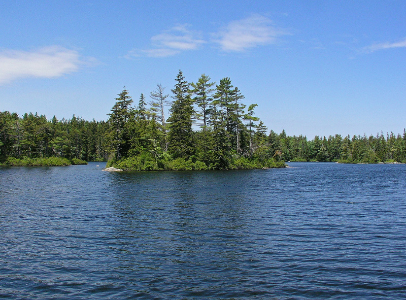
And then stayed on the open ridge with several nice views and though only 724 feet high it had an Alpine feel to it. Quite lovely.


We think the trail was closer to the one on Perrin's map as it did not make a big curve. We stopped at the headquarters and asked a ranger about the trail but he was not familiar with it and didn't know of any others.

We then drove into the park and took the loop road to the start of the Orange and Black Path which we had not done and turned out to be an interesting challenge.

Almost immediately we ran into an obstacle Kelley couldn't manage and tried a bushwhack to the left that didn't work and then to the right which took us a good ways up the mountain before we could get back to the trail.

                                                                                 
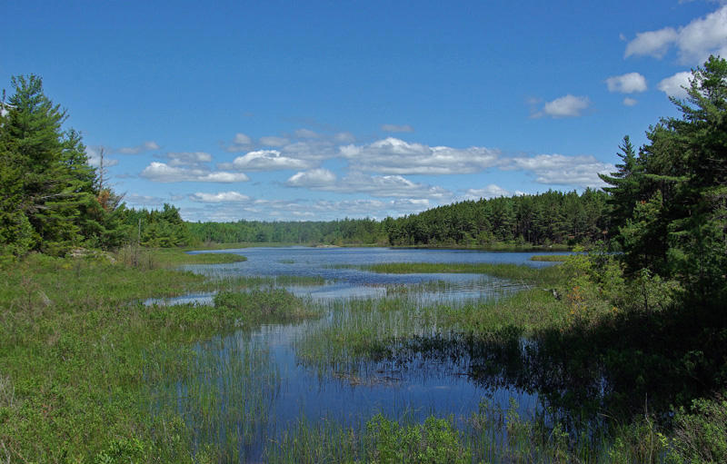
A view off to the side

                                                                            
There followed a pleasant stretch without challenges

                                                              
And then another section of steps and rocks

                                                                                        
We were going to take the East Face Trail to the summit but it was closed due to the nesting Peregrine Falcons so we continued on to the Bear Brook ( Champlain N. Ridge) and took that to the summit where we met a group of nice women from Montreal. They were doing an ambitious hike, continuing down Champlain , over and across Gorham to the ocean and the Ocean Path back to sand Beach. They made Kelley very happy with attention.

We went back down Bear Brook to the road
 and walked the road back to our car.